Three Big Worries Concerning the Upcoming Severe Weather Outbreak
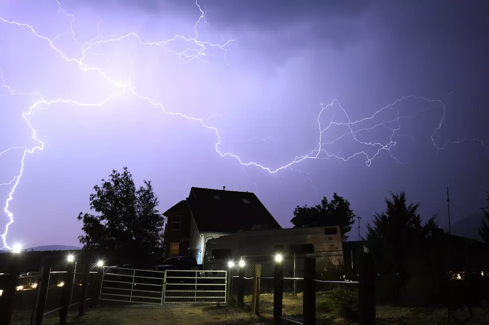
I'm sure by now you have heard about the cold front and the severe weather threat that Deep East Texas is expected to experience Friday night through Saturday morning. Since the beginning of this week, weather outlets have been warning folks that live in the eastern half of Texas and all of Louisiana to be ready for tornadoes, damaging wind gusts, hail, and rainfall in excess of two inches.


That's definitely not what we want to hear, but here are the three scenarios that concern me most for this outbreak of severe weather.
1. Discrete Supercell Storms
The Storm Prediction Center in Oklahoma City is forecasting that conditions will be favorable for the development of these 'discrete supercell storms'. When it comes to an approaching front, these are the types of storms that can be the most worrisome, mainly because they develop quickly and give you little opportunity for warning. With the actual frontal squall line, you can usually track the severe storms on radar hours before it gets to your area. However, these 'discrete' storms can develop several hours ahead of the actual frontal boundary and squall line. They move quickly (sometimes with a relative land speed of 70 mph), usually from the southwest to the northeast, and they can go from sprinkles to tornadoes in less than 45 minutes.
2. Intense Squall Line
The frontal boundary that is heading our way is dynamically impressive. Drop a boulder in a pond and you'll produce a wave, the bigger the boulder, the bigger and deeper the subsequent wave. Kind of the same thing here...the frontal boundary is the big boulder and the line of storms is the huge wave. This QLCS (Quasi Linear Convective System) or squall line is expected to include a solid line of strong to severe storms extending from Little Rock to Corpus Christi. The squall line could produce winds gusting up to 80 mph, with or without tornadoes.
3. Timing
All this is supposed to happen after the sun goes down Friday night. In fact, many forecast models are showing that the intense squall line itself may not pass through the Pineywoods until after midnight. Storms producing severe weather while the majority of folks are in bed can be a dangerous mix.
Here are a few suggestions on how to be prepared:
STAY INFORMED - Just seconds of notification and awareness can make a major difference. If you can, purchase a NOAA Weather Radio, or you can also download their app. You can also download the KICKS 105 App for immediate alerts sent to your phone. A battery powered radio is also a good investment.
STAY HOME - Forecasters have already given us the time frame of these storms. Make every effort for you and your family to stay home after the sun goes down on Friday.
STAY SAFE - Have a plan of where to go in your home in the case of threatening weather. An interior room away from windows is usually the best bet. Use pillows, blankets, mattresses, or other items to keep you covered should debris start to fly.
A mobile home provides very little protection from a tornado. You should have a plan in place to go to a shelter or other reinforced home well in advance of the severe weather moving into the area. As a last resort in a last second circumstance, leave the mobile home and find a low lying area and lie flat on the ground making sure to cover your head.
PRAY - There is nothing more powerful than prayer. Gather your family and pray that God will keep you and everyone safe from the storms. That should always be your first line of defense.

More From Newstalk 860