Severe Storms, Tornadoes, Possible Tuesday in East Texas
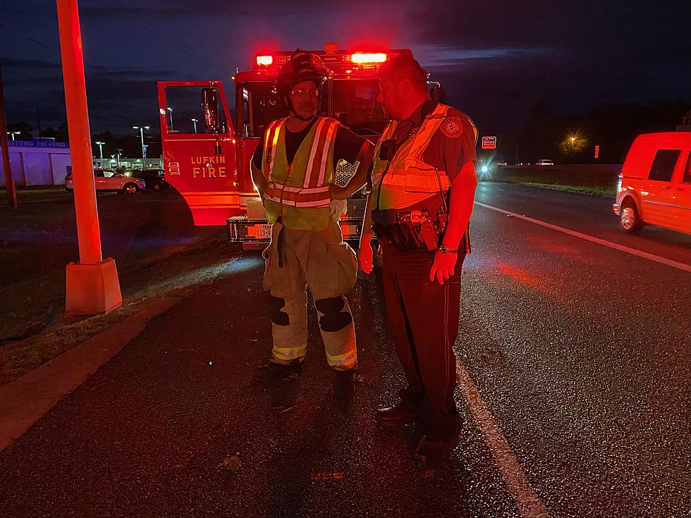
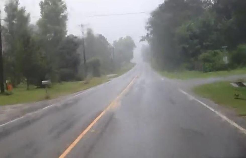
Hopefully, the scene from above won't be something that we see around Deep East Texas throughout the day and evening on Tuesday, but severe storms are expected, especially in those areas just south of Lufkin and extending towards Houston and Beaumont.
According to the National Weather Service, strong to severe thunderstorms are expected to develop from central into eastern Texas and perhaps western Louisiana throughout the day on Tuesday, with a few tornadoes and damaging winds expected. The best chances of severe storms and the heaviest rainfall amounts (1-2 inches) should occur from Polk, Tyler, and Jasper counties, and then southward.
The Severe Storms Forecast Center in Oklahoma has depicted in the map below the areas that have the best chances of severe weather on Tuesday.
More From Newstalk 860


