East Texas in Highest Risk of Severe Weather, Tornado Outbreak
Springtime severe weather in East Texas. It's not a question of if, but when. For the past few days, I've been tracking what forecasters and computer models have been predicting about severe weather chances in our area for Friday afternoon and night. Over the past few hours, meteorologists have pinpointed the eastern third of Texas as the place most likely to see severe weather. So, let's dive into what we can expect over the next 18 hours.
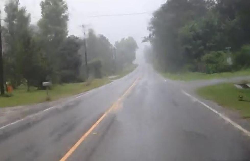
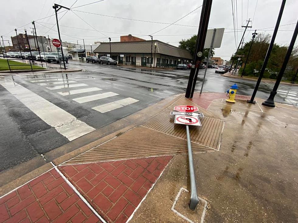
Storms are expected to start forming in our area by early afternoon. Many of those storms could become strong or even severe within minutes of developing. The probability of storms will be high (above 50%) throughout the afternoon, however, it's during the evening hours up until midnight when the chances will go up to about 90%.
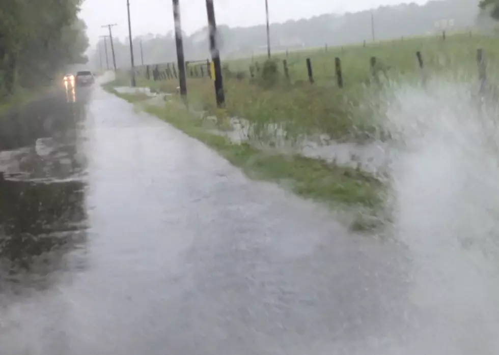
First, the good news, by the time midnight gets here tonight, the chances for rain and storms will be pretty much down to zero for the immediate Lufkin/Nacogdoches area. The bad news, everything is in play up until then. That means straight line winds could gust up to hurricane strength in some of the squalls. We could see hail the size of golf balls or bigger drop throughout a large portion of the eastern half of Texas. Downpours could bring up to 2 inches of rain or more in some parts of the Pineywoods. And then, there's the tornado threat.

According to the Storm Prediction Center in Norman, Oklahoma, there's a 5% chance of a tornado happening within 25 miles of any point within the brown shaded area. That includes pretty much all of the Pineywoods. That may not sound too imposing, but it's definitely higher than you want it to be. Basically, it means there's a good bet of at least one or two tornadoes across East Texas this afternoon or tonight.
So, be safe and stay informed. Listen to KICKS 105 for the latest warnings and watches, and make sure you've downloaded the free KICKS 105 App to have breaking weather alerts sent to your smartphone.

LOOK: The most expensive weather and climate disasters in recent decades
More From Newstalk 860