East Texas Severe Weather Watches/Warnings for January 19
A strong cold front is bringing the potential of severe weather to the Pineywoods on Wednesday afternoon and evening. We will update this site for any watches and/or warning issued by the National Weather Service.
Updated 1/19, 6:30 p.m. - Severe Thunderstorm Warning
The National Weather Service in Shreveport has issued a Severe Thunderstorm Warning for Nacogdoches County until 7:15 p.m. A severe thunderstorm with wind gusts to 60 mph and quarter-sized hail is over the city of Nacogdoches. Persons in Nacogdoches and Appleby should stay in a safe place.
Updated 1/19, 6:05 p.m. - Severe Thunderstorm Warning
The National Weather Service in Shreveport has issued a Severe Thunderstorm Warning for east central Nacogdoches, southwestern Shelby and northwestern San Augustine Counties until 7 p.m. A severe storm near Woden could be producing winds up to 60 mph and quarter-sized hail. Persons in Martinsville, Chireno and Melrose should monitor the weather conditions.
Updated 1/19, 1:20 p.m. - Severe Thunderstorm Watch
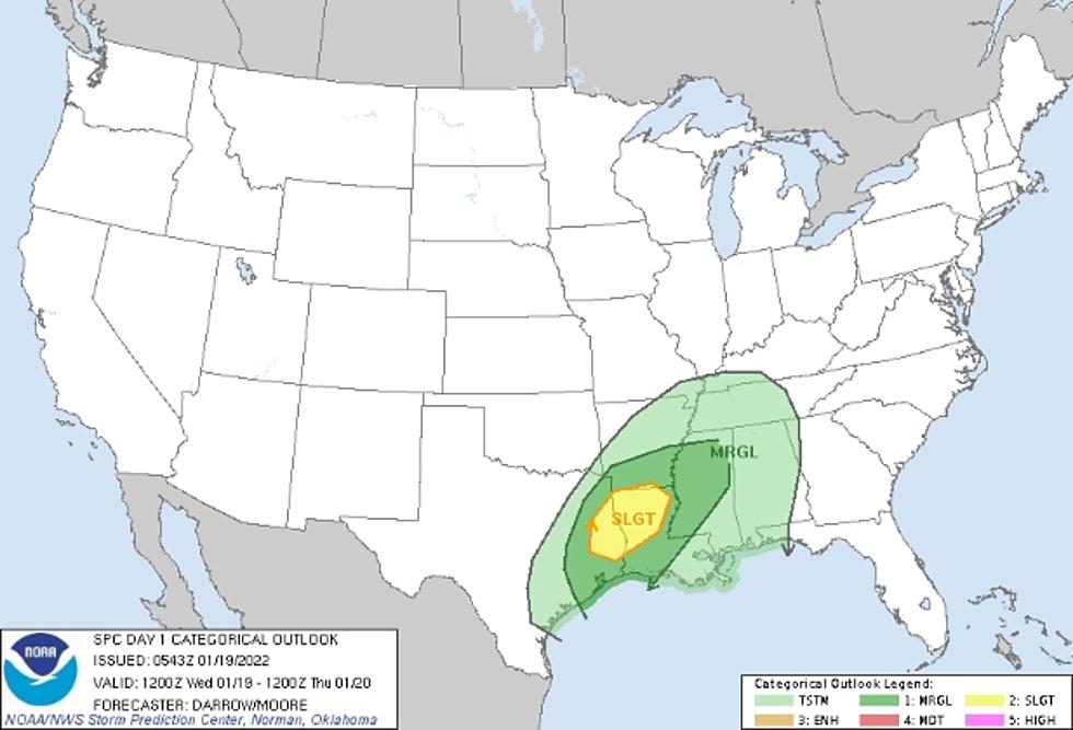
The Storm Prediction Center in Norman, Oklahoma has issued a Severe Thunderstorm Watch effective for almost all of Deep East Texas until 7 p.m. tonight. Houston and Cherokee Counties are NOT included in this watch area, but Angelina, Nacogdoches, and all other adjoining counties are included.
Scattered damaging wind gusts up to 65 mph are possible, along with quarter-sized hail, plus a tornado or two cannot be ruled out. Scattered showers and thunderstorms continue to develop this afternoon across Deep East Texas.
Download the KICKS 105 App to have weather alerts sent to your smartphone.

More From Newstalk 860