A Hurricane Could be Heading to Texas in Early July
Will a hurricane be targeting the Texas coastline around the 1st of July?
Maybe...maybe not.
That's how it goes when you follow the long range weather models that try to predict the weather in weeks to come. I'm definitely a weather nerd. I've always been intrigued by meteorology, so much so, that it was my major at Texas A&M back in the 1980s. So, keeping up with various weather forecasting models is a daily past time for me.
There are numerous weather models but the main ones that seem to have the best track records when it comes to forecasting significant weather in the world are going to be the GFS, short for the Global Forecast System, which is produced by the U.S. based National Centers for Environmental Predication; then there's the ECMWF which stands for European Centre for Medium-Range Weather Forecasts; and finally the ICON (Icosahedral Nonhydrostatic), which is a product of the German Weather Service.
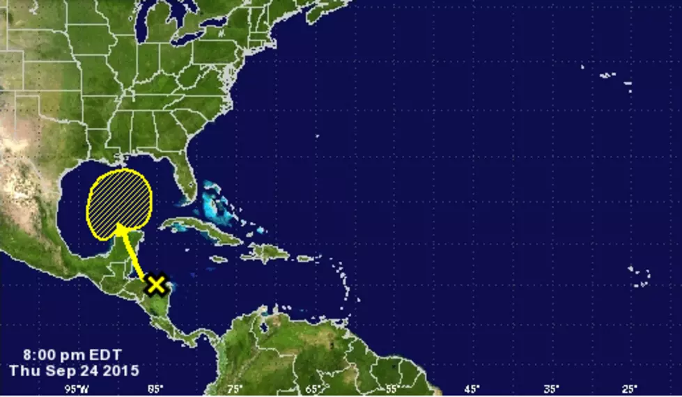
Currently (6/21), the National Hurricane Center is tracking an area of disturbed weather far out in the Atlantic Ocean.
At this time, there is only a 20% chance that these storms will develop into a cyclone-type formation in the next 5 days. In fact, the ECMWF and ICON weather models show this area of storms breaking apart by the start of July. However, the computer models of the GFS are aggressively predicting that this disturbance will hold together and intensify over the next week and a half, especially once it enters the waters of the Caribbean.
Furthermore, the GFS model is predicting the system will enter into the Gulf of Mexico by late June and become a hurricane. In some forecasts, the GFS puts the landfall near Corpus Christi, and in others, in Florida. Which is precisely why anyone looking at these forecasts should approach them with a major grain of salt. Tropical storm/hurricane formation and directions are difficult to predict 72 hours out, much less 240 hours out.
So, the intent of these long range forecasts is mainly to educate and prepare for the possibility, never to alarm or overhype a situation. I would suggest following the Facebook Page of Tropical Storm Central. They do a great job of breaking down the different models whenever U.S. landfall is threatened.
One thing that most meteorologists are agreeing on is that 2021 should be another very active hurricane season for the Gulf of Mexico, Caribbean and the Atlantic.


