Warm Today — Chilly Tomorrow
We have good news and we have bad news. The good news is that the first strong cold front of the season is expected to push through east Texas tonight or early tomorrow. The bad news is that it won't bring much if any rain with it.
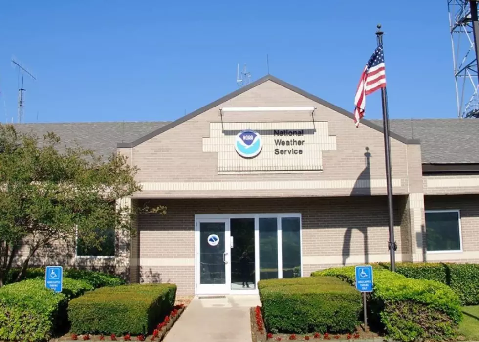
The National Weather Service says this week’s weather will start out warm. Here in deep east Texas the temperatures should be in the 80s, and possibly in the low 90s along the coast. But then it changes.
A strong cold front is expected to push southeastward across Texas and reach the coast by the start of the work day Tuesday. Temperatures should fall 10 or 15 degrees with the frontal passage, and that’s only the beginning.
The rest of the week will be clear and warm in the daytime and very cool at night. Highs should be in the low to mid 70s, and overnight lows will be in the 30s and 40s.
Now the downside. The front and resulting high pressure means windy conditions and very dry air will create “Red Flag” conditions across east and southeast Texas, and increase the danger of wildfires, and we all know what that means.
Temperatures will start warming up by Thursday, and the weekend should see highs around 80 with lows around 60.
via 10 Day Weather Forecast for Lufkin - weather.com.
All in all pretty nice for mid- to late-October. After the hottest summer in living memory, it's going to be a welcome change. Now if we could just get some rain to go with it.
More From Newstalk 860


