Tornado Outbreak Expected, What’s in Store for Deep East Texas?
In the Winter of 2020/21, I think East Texas received our quota of snow for the next 10 years. The way things are going in the Spring of 2022, we could be on our way to filling our quota of severe weather for the next several years.
Another week, another round of severe weather in the South. This time, however, the threat of the severe weather seems to be staying in the same general area over several days; and that general area is covering much more ground than our past several rounds of severe weather.
The Storm Prediction Center in Norman, Oklahoma uses a gauge of 1-5 to determine the likelihood of a severe weather outbreak over certain regions. If your town is shaded in the number two or above, you need to stay alert to possible severe weather. Large hail, damaging straight-line winds and brief, heavy downpours are possible. The Lufkin/Nacogdoches area will be in the '2' range through Wednesday afternoon.
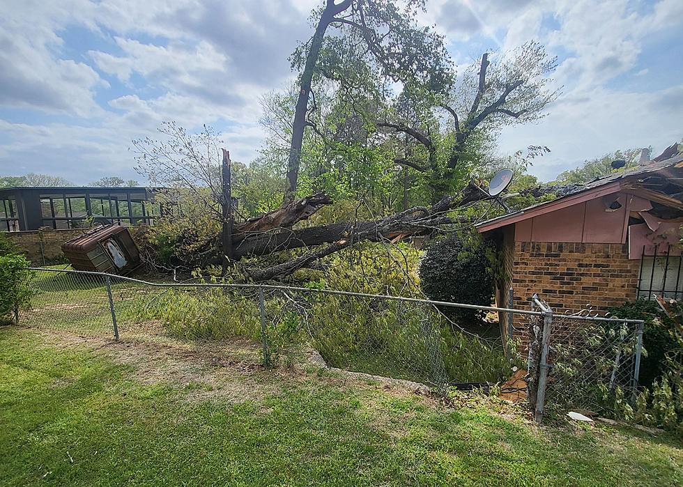
As far as tornado probabilities are concerned, Deep East Texas is shaded brown through Wednesday afternoon (see graphs below). That means wherever you live in the Pineywoods, there is a 5% chance that you'll have a tornado within 25 miles of you. I know, strange numbers. Basically, that means there is a low chance of a tornado coming near your house, but, keep in mind, that was about the same forecasted chance back when we had our last round of EF2 tornadoes that struck Crockett, Cushing, and Mt. Enterprise.
As you look at the graph for today (4/12), you'll notice that folks living in eastern Iowa are in the bull's eye for the possibility of a significant and strong tornado outbreak. Tomorrow's graph (4/13) shows a much bigger area roughly running along the Mississippi River that could get a nasty tornado outbreak on Wednesday.
Even though other areas outside Deep East Texas have a higher chance for severe weather and tornadoes, stay prepared and alert. The National Weather Service in Shreveport is forecasting about a 40-50% chance of storms this afternoon through about midnight. Some of those storms could be severe. The biggest chance of storms and severe weather is expected to take place between 6 a.m. to 2 p.m. on Wednesday.
Download our KICKS 105 App to have breaking weather alerts sent to your smartphone. Also, I have found that YouTuber Ryan Hall usually does an outstanding job of live-tracking severe weather outbreaks as they are occurring.

DPS Helicopter Gives Us Aerial View Of Storm Damage In Cushing, Texas
More From Newstalk 860


