Lufkin and Nacogdoches, Watch Out For Severe Storms This Weekend
About a week ago, forecasters were warning East Texans that the last days of 2021 and the first days of 2022 would bring record warm temperatures, severe weather and then bitterly cold weather.
Two out of three ain't bad.
The severe weather that meteorologists thought would develop before the cold weather never materialized. Not that I'm complaining, of course.
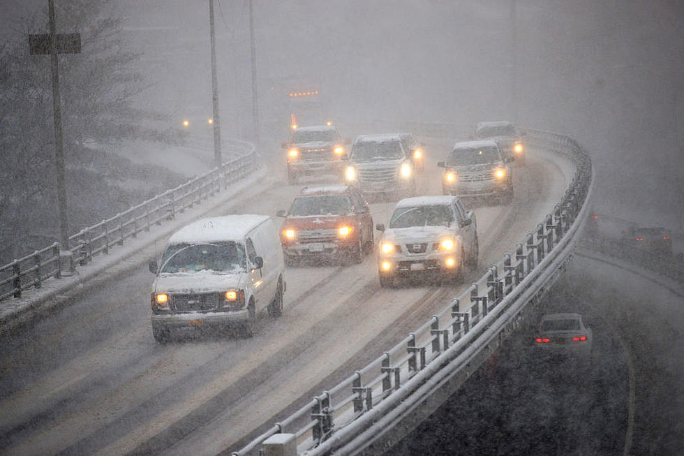
As we move into our second weekend of the new year, weather models are once again pointing to the possibility of severe storms in Deep East Texas. According to the latest outlook by the Storm Prediction Center in Norman, Oklahoma, some of the showers that are expected around the Pineywoods on Saturday and early Sunday could strengthen to severe limits.
A warm front will move across our region on Saturday which will add moist, unstable air to the area. Some of the pop up storms on Saturday could be accompanied by heavy downpours, damaging winds and a brief tornado would not be a surprise. The threat of up to quarter-sized hail is expected to stay mainly north of Tyler/Longview.
A cold front will approach East Texas overnight Saturday and into the early morning hours of Sunday. This could bring around another threat of severe storms to the Pineywoods, especially after midnight Sunday. Showers and storms should finally move out of the area by mid-morning Sunday.
An inch or more of rainfall could be rather common over the weekend across Deep East Texas, but no flooding is expected at this time. The rainfall will be welcome as the US Drought Monitor shows our region categorized as either in severe or moderate drought.
Make sure to download our free KICKS 105 App to get weather updates sent to your smartphone.

KEEP READING: Get answers to 51 of the most frequently asked weather questions...
More From Newstalk 860